UMM SAMRA (230 km2)
The Umm Samra project area originally comprised two contiguous blocks within the CED terrane of the Egyptian Nubian Shield. These licenses have subsequently been renewed and reduced in size and now cover about 230 km2. Lotus currently has a field camp situated in the southwest of the project area. Marsa Alam town on the Red Sea Coast is located about 120 km by road from the field camp via the Marsa Alam – Idfu tarmac road and the final 30 km on dirt tracks. The company has a regional field office in Marsa Alam. The town services the Sukari Gold Mine and also includes numerous international standard hotels and associated infrastructure along the coast. Marsa Alam International Airport is located 60 km to the north of the town.
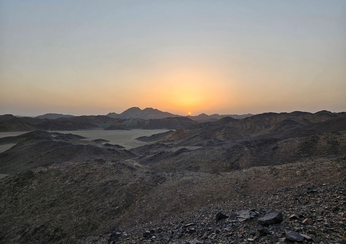
The Umm Samra license area is dominated by Jebel Umm Samra, a large granitoid intrusion rising 350 m above the surrounding terrain, enclosed within a sequence of volcano-sedimentary rocks, metasedimentary schists, volcanics and ophiolitic mélange. The property is host to numerous active artisanal gold workings, including ancient mine shafts and settlements that are being re-worked.
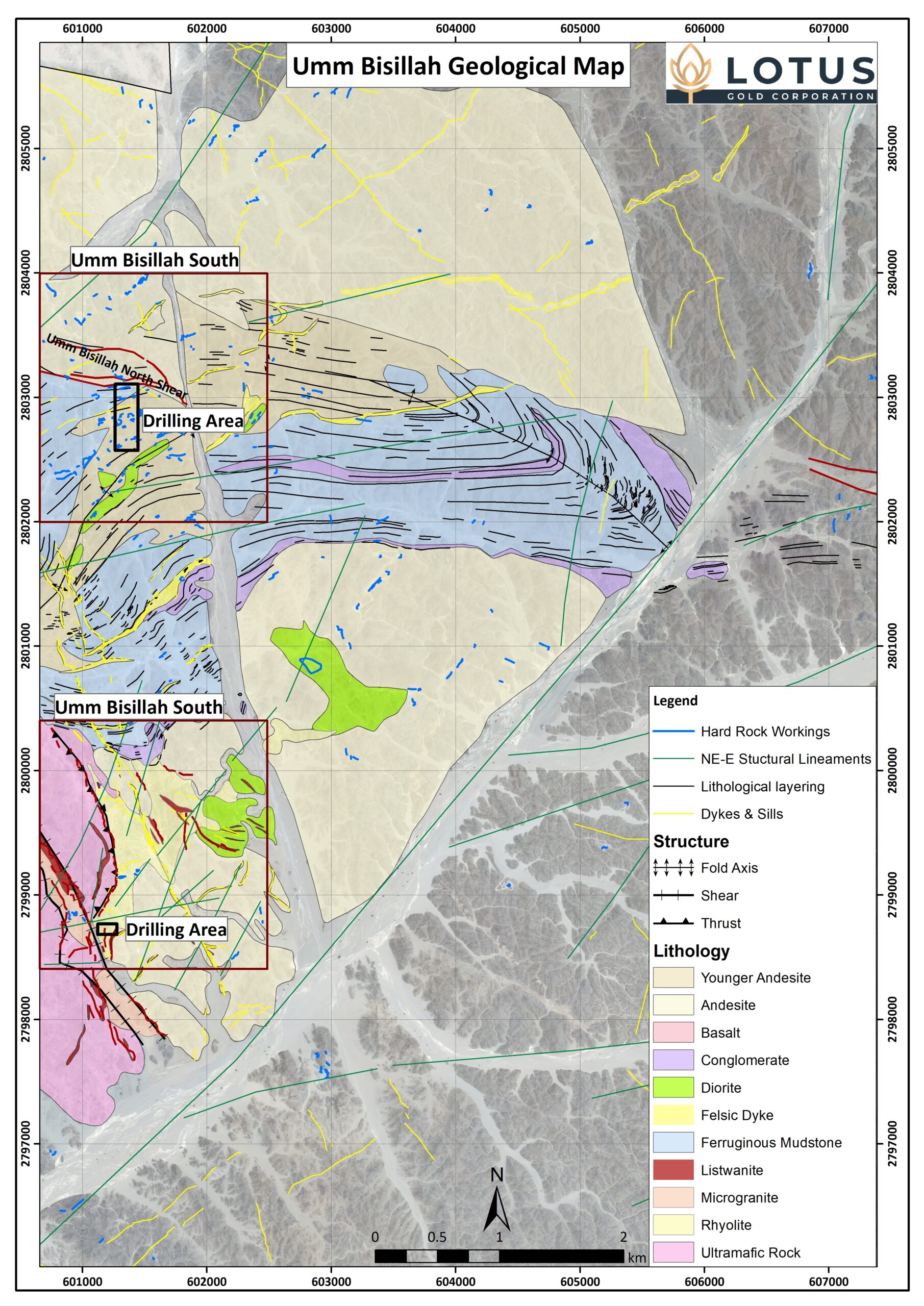
Lotus’s exploration work to date has focused on three main prospects, namely Umm Bisillah North, Umm Bisillah South and Jebel Umm Samra.
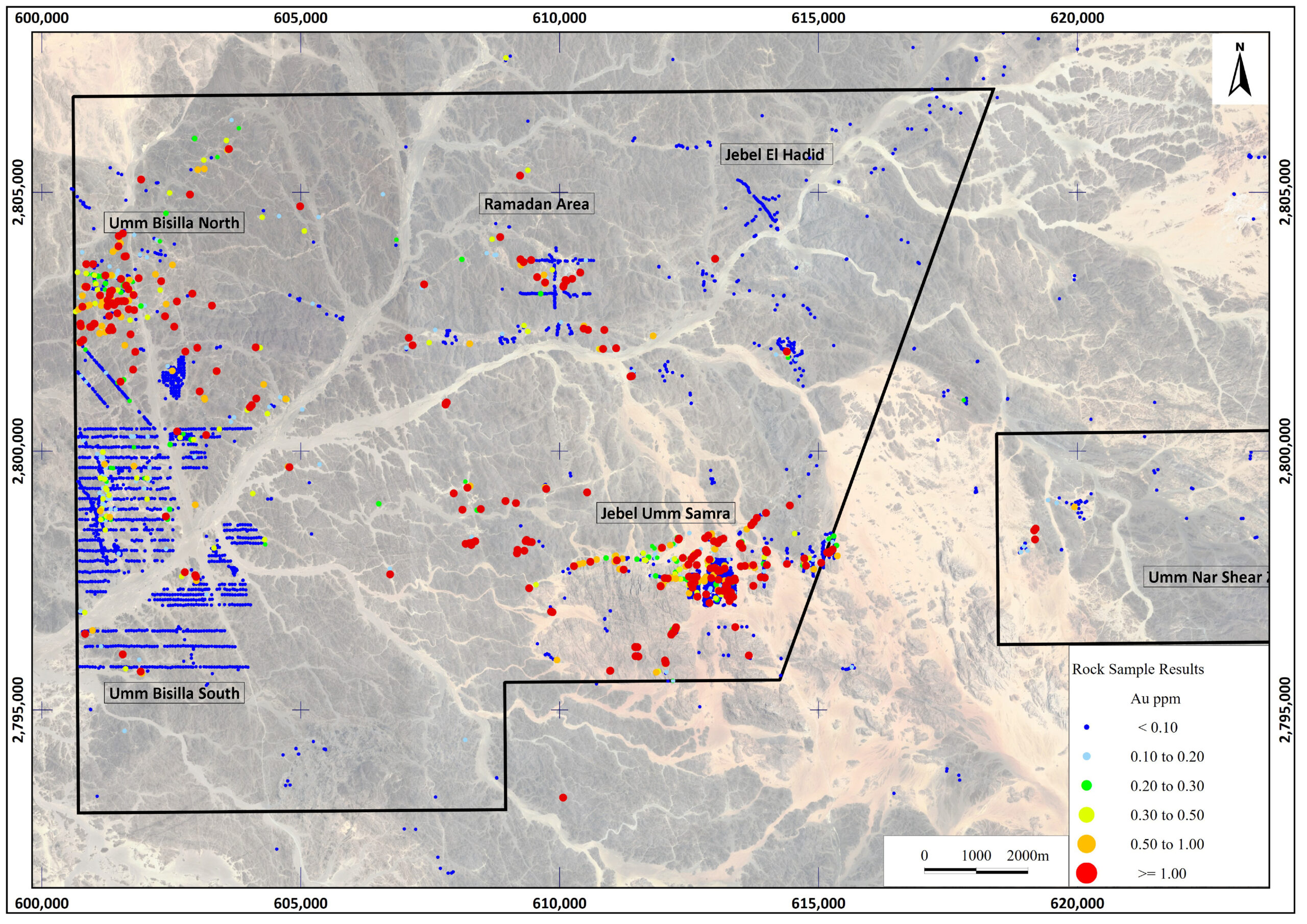
The Umm Bisillah prospects are located along the western boundary of the license area, close to Lotus’ field camp.
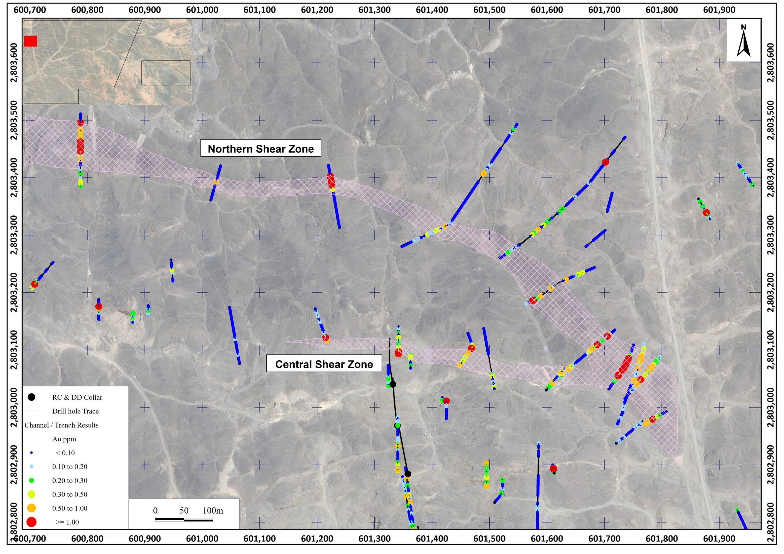
Umm Bisillah North is adjacent to a regional scale Najd fault structure, separating acidic metavolcanic rocks to the north, from Hammamat sediments and volcaniclastic units to the south. Of particular interest to Lotus are sub-parallel shear zones within the volcanic units, displaying gold mineralization over approximately 1.2 km. The two shear zones were identified by mapping, rock grab, channel and trench sampling during 2023/2024 and notably are not the target of extensive artisanal mining due to the lack of large (white) quartz veins.
The area as a whole was initially identified as a target due to the widespread artisanal activity in the south of the prospect. The company carried out fieldwork in this southern part including mapping, rock, channel and trench sampling and a scout drill program. These results showed the mineralization to be single, narrow quartz veins with little wall-rock mineralization.
Umm Bisillah South is approximately 4 km south of the regional Najd fault, south of the Hammamat sedimentary basin and located within a sequence of andesites adjacent to what has been mapped as a rhyolite. This rhyolite is interpreted to represent hydrothermal alteration, potentially related to a porphyry system. Additional work is planned to test the porphyry hypothesis.
Jebel Umm Samra is located approximately in the center of the original license blocks, where mineralization is structurally controlled along lithological contacts as well as within the granitic massif. The gold mineralization is hosted within quartz veins along shear zones, in a primarily northeast-southwest orientation.
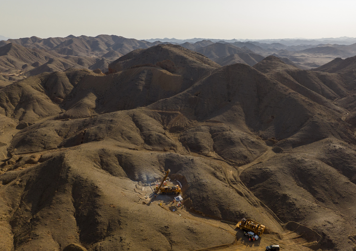
Exploration by Lotus included detailed mapping, grab and channel sampling and scout drilling. The drilling showed that the quartz veins are laterally continuous, but are narrow.
